
Sales Territory Mapping
Build a clear, color-coded sales territory map in your browser. Assign states or counties to reps, name every region, and share the result.
Free to use. No account needed to start.
What Is Territory Mapping?
Territory mapping is the practice of dividing a market into defined geographic areas and assigning each one to a specific rep, team, distributor, or franchise. Instead of a list of states in a spreadsheet, you get a picture: who owns what, where the gaps are, and which areas are carrying more than their share.
Sales territory mapping applies that idea to a sales organization. Most teams start by splitting a country into regions, then refine down to state or county level as headcount grows. The map becomes the reference everyone agrees on, used in planning meetings, quota discussions, onboarding decks, and account handoffs.
The hard part was never the geography. It was the tooling. Traditional GIS platforms are built for analysts and priced for enterprises, which is why so many teams end up maintaining a color-coded spreadsheet nobody trusts. A dedicated territory mapper closes that gap: you get the visual clarity of a real map without the software or the learning curve.
Sales Territory Map Examples
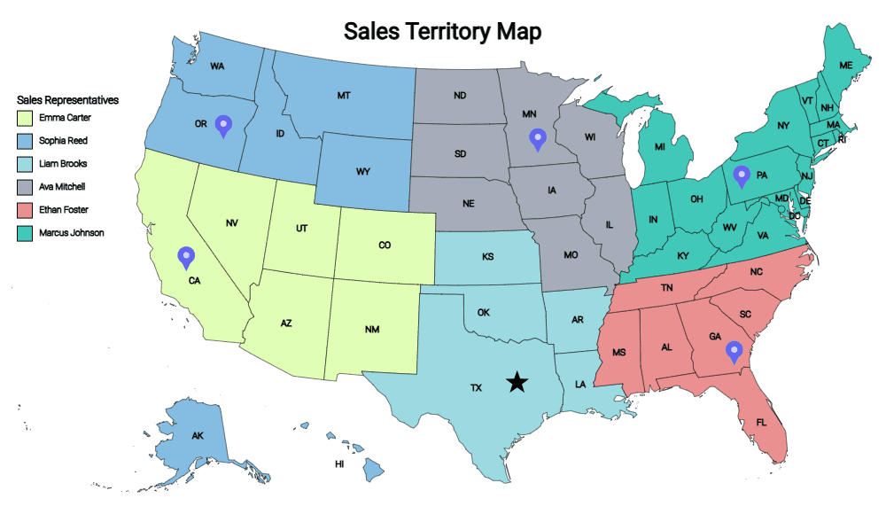
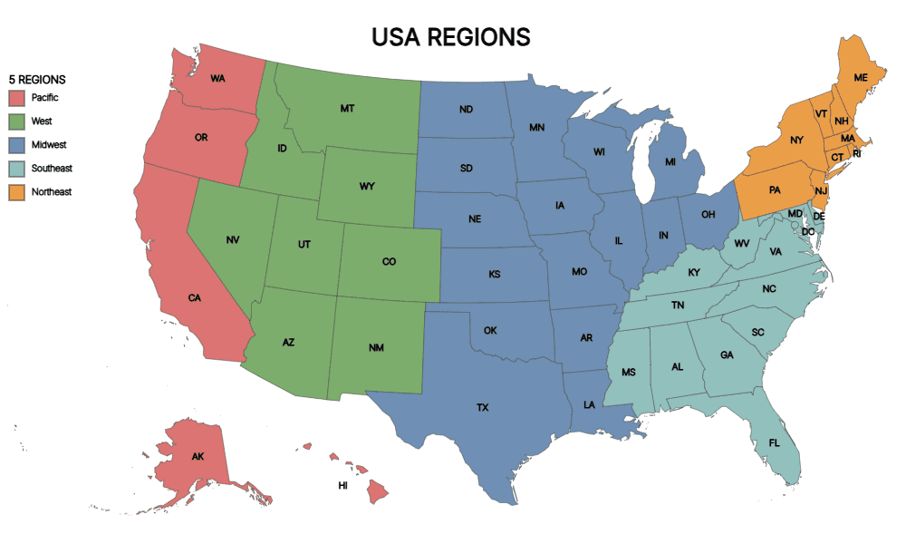
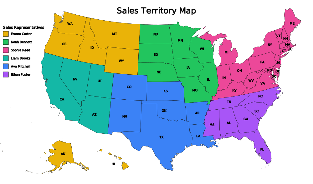
Here are two common ways teams structure a territory map. Both were made with the editor on this site. Pick whichever is closer to how your organization is split and start there.
How to Create a Territory Map
Four steps, start to finish. Most teams have a first draft inside ten minutes.
- 1
Pick your base map
Start from a US states map for regional or rep-level territories, or a county map when you need finer detail. Canada, Mexico, Europe, and world maps are available if your market is broader.
- 2
Color-code each territory
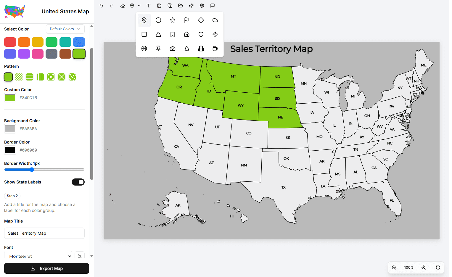
Click any state or county to fill it with a color. Assign one color per rep, region, or tier. Reassigning is one more click, so restructuring mid-planning costs you nothing.
- 3
Name your regions
Add labels and a legend so the map explains itself. A map that needs a verbal walkthrough won't survive being forwarded to anyone else.
- 4
Export and share
Download your finished territory map as an image and drop it into a deck, a QBR, an onboarding doc, or a printed handout for the sales floor.
Add Markers and Text to Your Territory Map
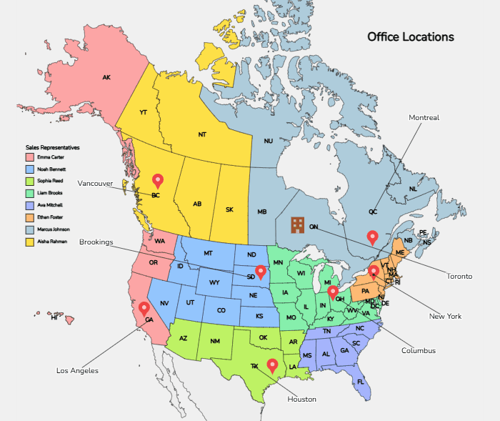
Colored regions tell you who owns what. Markers tell you what's actually there. Drop a pin on every office, warehouse, or key account, label it, and your sales territory map doubles as an office location map.
Pin any location
Place a marker anywhere on the map and choose its icon; a pin, star, flag, home, building, or one of a dozen others. Use different shapes to separate headquarters from satellite offices or target accounts.
Label what you pin
Add text anywhere on the map, with leader lines connecting a label to the marker it describes. City names, rep names, account names; whatever your team needs to read off the map without a key.
Name every rep in a legend
Pair each color with a rep's name in a legend, so the map identifies territory owners by name rather than by color alone.
Export without the watermark
Free exports carry a small "Created using MapMaker.io" watermark. Premium exports don't, which matters when the map is going into a board deck or a customer-facing document.
Markers and text labels are premium features. Coloring, naming, and exporting territories are free.
Territory Mapping Software for Sales Teams
Most sales territory mapping software is sold as an enterprise GIS or CRM add-on: annual contracts, admin setup, and a training session before anyone draws a single map. That's a real cost to pay for what is often a once-a-quarter planning exercise. MapMaker takes the opposite approach.
Nothing to install
Runs in the browser on any laptop. No IT ticket, no license seats, no desktop GIS package to provision for a team that will use it a few times a year.
Built for sales, not analysts
Click a state, pick a color, name it. That's the whole learning curve. Any sales rep territory mapping software your team won't actually open is worth nothing.
Instant restructuring
Territories change when headcount changes. Reassign a state to a new rep in one click and re-export — instead of rebuilding a diagram from scratch every reorg.
Share as a real image
Export a clean PNG or SVG that drops straight into Slack, a board deck, or a printout. No viewer, no plugin, no login for whoever you send it to.
Why Use a Territory Mapper
A spreadsheet of state assignments technically holds the same data. It just doesn't let anyone see the problems. Here's what a sales territory map creator surfaces that a list cannot:
Coverage gaps become obvious
An unassigned state is invisible in row 34 of a spreadsheet. On a map it's a white hole in the middle of your country, and someone notices in the first meeting.
Imbalance is visible at a glance
When one rep's territory sprawls across a third of the map while another's is a single metro, the map argues for you. Fairness discussions get shorter and less personal.
Faster onboarding
New hires understand a colored map in seconds. Handing them a tab of state codes and asking them to picture it wastes their first week.
Better planning conversations
Sitting a leadership team in front of a map changes the discussion from abstract quota math to concrete geography — where to expand, where to split, where to hire.
Frequently Asked Questions
What is the best free sales territory mapping tool?
For most sales teams the honest answer is: the simplest one that produces a shareable map. MapMaker is free to use, runs in the browser, and needs no account to start — you can have a color-coded territory map exported in under ten minutes.
Can I create a territory map without any GIS experience?
Yes. That's the main design goal. You click a state or county, pick a color, and add a label. There are no layers, projections, shapefiles, or coordinate systems to understand. If you can use a drawing app, you can build a territory map here.
Can I map territories by county instead of by state?
Yes. The US county map lets you assign territories at county level, which is what most teams move to once a single state gets too big for one rep. You can also mix approaches across your organization — states for your thinly covered regions, counties for dense metros.
Can I assign a color and name to each sales rep?
Yes. Assign each rep their own color, then add a legend or on-map labels naming each territory owner. This is the most common setup for a sales rep territory map — it makes account ownership readable at a glance.
How do I share my sales territory map with my team?
Export it as an image and share it like any other file — paste it into a deck, post it in Slack, attach it to an email, or print it for the sales floor. Because the export is a standard image, nobody on the receiving end needs an account or a special viewer.
Can I edit my territory map after I create it?
Yes. Territories change constantly as reps join, leave, and switch regions. Reopen your map, click the affected areas to recolor them, and export a new version. There's no penalty for restructuring.
Does this work for territories outside the United States?
Yes. Alongside US states and counties, there are maps for Canada, Mexico, Europe, individual European countries, Brazil, India, Australia, and the world. The same color-and-label workflow applies to all of them.